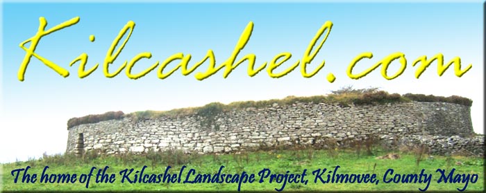
What is the Kilcashel Landscape Project?
Kilmovee, County Mayo, Ireland
The aim of the project is to apply the methods and techniques of landscape archaeology to comprehensively assess the townland of Kilcashel and disseminate that information to the public. A 5 year plan (2009-2014) has been established to collate historical & archaeological data of Kilcashel and combine this with new data gathered non-intrusively by field-walking, topographic mapping, geophysics and standing building recording. The data will be examined and compared with the settlement history and the natural resources of the area. This data will examine how resources have been exploited throughout history by the local community, what influences the community has had on land beyond the immediate study area and how Kilcashel itself has been influenced by external forces and events.
We have several more exciting areas of research over the next few years. In order to achieve all this, we've broken down the work into a number of research areas:
Dusty Old Maps!
By carrying out a Desk-top analysis we can bring together all the known history and archaeology of Kilcashel and the surrounding area. This is an important first step upon which future work can be based.
Lumps, Bumps and Wellie Boots!
A Walkover survey through Kilcashel's fields and woodlands will help us to map and record any potential archaeology that is not already known about. This may suggest new areas of interest for further work.
Sit down and have a Gossip!
We'll be talking to local residents and landowners to record some local oral history. Discussions of field and place-name evidence is very important as they may contain clues to historical and archaeological events that don't appear in the written record. We'll also collect local folklore from Kilcashel and Kilmovee and record it all in a database.
X-Ray Vision!
We'll be carrying out Geophysical surveys using equipment that can see beneath the soil and make a map of the buried archaeology. We'll be using this technology inside the Kilcashel Stone Fort to map any internal features. We'll also use it over archaeology that has been buried or destroyed above ground including a lime kiln, Father Hugh Henry's Fort, two more cashels and a bullaun stone.
Drawing with Lasers!
Laser-scanning of the Kilcashel Stone Fort will create a detailed drawing of the fort, souterrain, house sites and wall chambers, from which we can create a 3D model.
Build me a Wall!
How much effort does it take to build a wall? The size of the Kilcashel Stone Fort is very impressive - surely it must have taken a huge effort to construct it in the Early Medieval period? But that's just the beginning - in the 19th century, Kilcashel was transformed from open areas of uncultivated bog and scrubland to perfectly planned ladder-shaped field systems built of local stone. We're going to work out how much stone was used in the various construction projects and how many people may have contributed to the legacy of Kilcashel's stone walls.
Putting Kilcashel on the Map!
We're going to be giving regular (at least annual) updates of our work at Kilcashel. Our reports will be available for free by downloading from the internet (or as small purchases via post). We'll be giving talks to local societies and we'll be publishing papers in journals and magazine. For instant results, we'll be posting live internet updates on the Earthsound facebook page.